Main Menu Labelling Interface Rules
The Labelling Interface
Logging into the labelling interface requires an active account, which you would have gotten from an invitation email. The basic mapping interface in mapping mode looks like this:
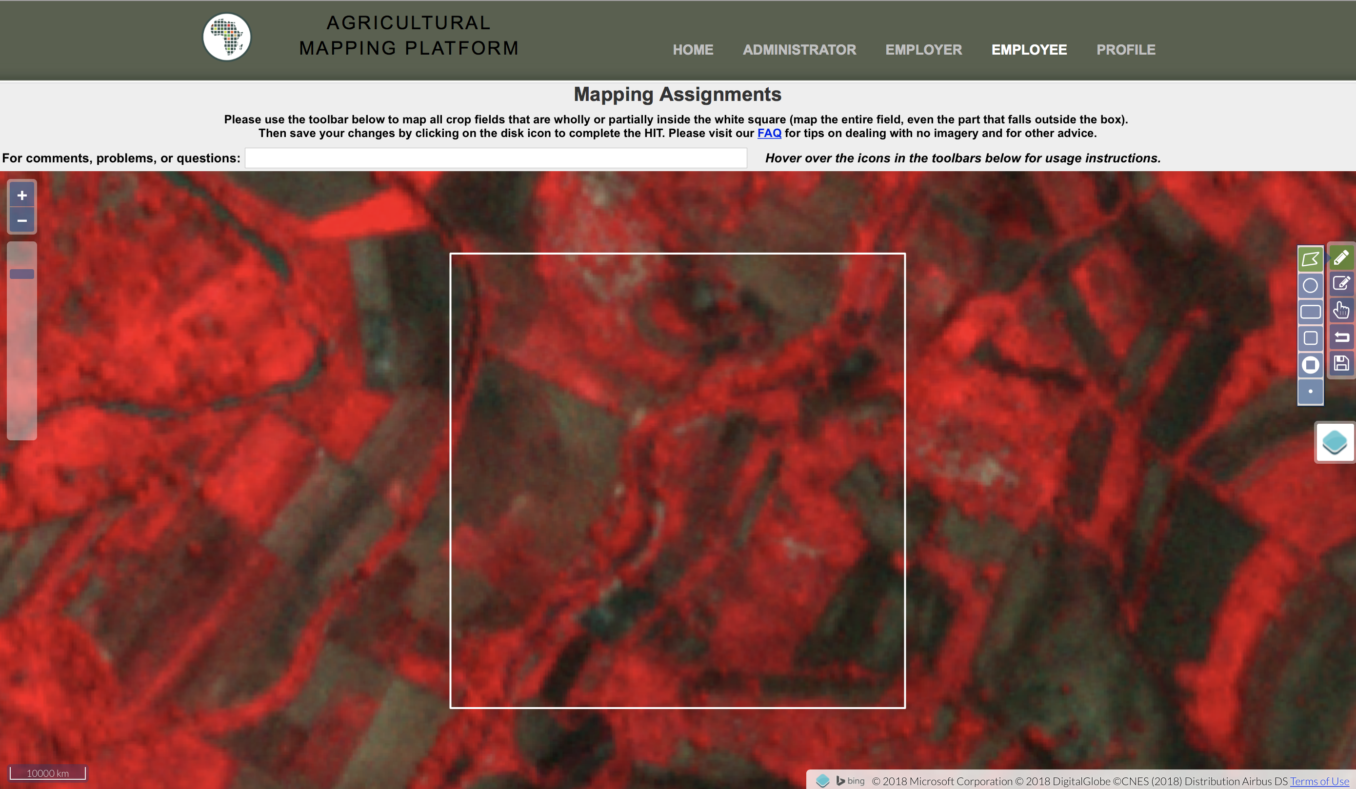
Digitizing tools (creating and editing) are on the right, and a “layer switcher”, which allows you to toggle off and on different base maps, and then the four different overlays of Planet images.
On the Planet images, there are two different images shown:
- One captured during the growing season
- One captured during the non-growing or dry season for that location
Each of these two images is presented in false and true color, with the false color version on top. False color means that green vegetation actually appears as red, so the greener the vegetation the redder the image.
You can switch these layers off and on with the layer switcher:
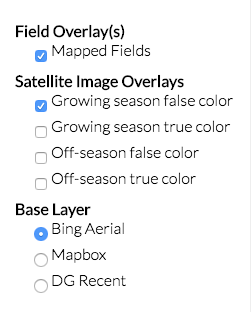
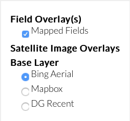
That is the first thing you see, assuming there are Planet data available to see for this location. If there are no Planet data, you will just see the satellite basemap and the layer switcher will look like this:
Sometimes one of the Planet pairs will be missing, so the layer switcher will just have the false-color/true-color pair for whatever season is available.