Main Menu Labelling Interface Rules
Rule 1
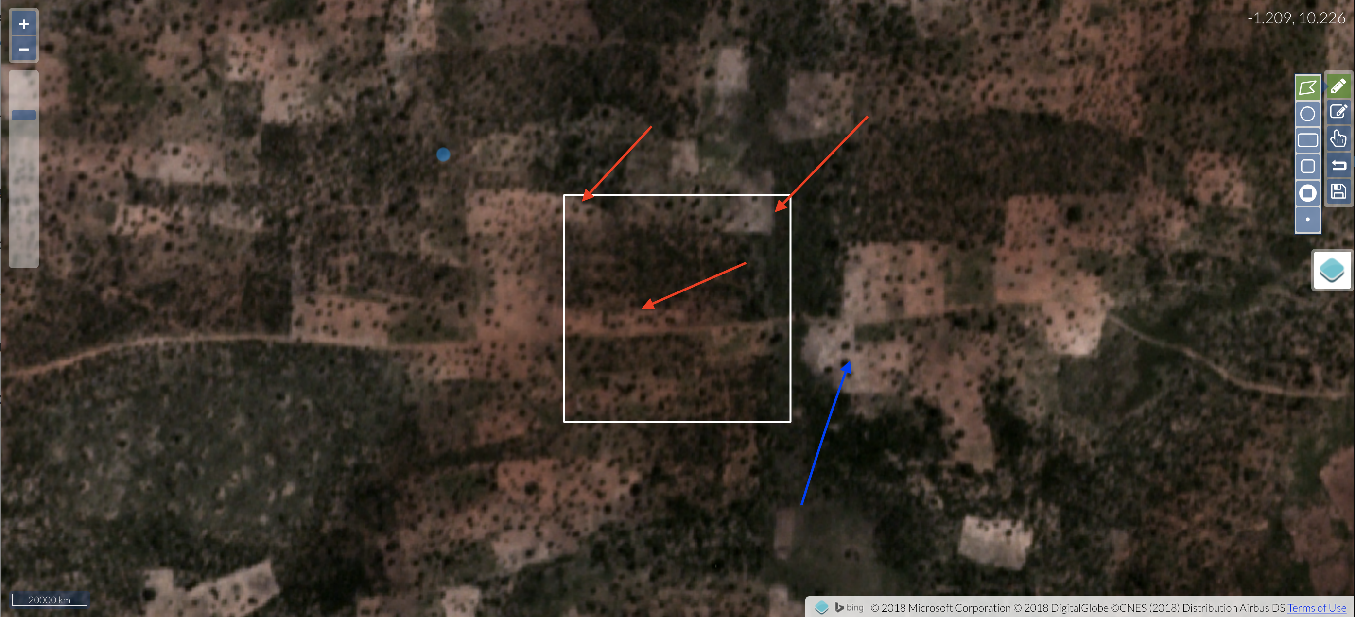
Label the Planet Imagery, not the Basemap.
For now, our labelling system works primarily with Planet imagery, which are the slightly coarser resolution true and false color images that are (usually) overlaid on the basemap. These Planet images are the ones that our machine learning algorithm processes, so we want to draw boundaries around the field we see in the Planet images, not on the basemap.
This is important because the fields in the Planet imagery are often different than what you see in the basemap. The basemap imagery is usually older than the Planet imagery, and so the fields often change between when the basemap and Planet image were taken. These changes will lead to errors in the algorithm that we want to avoid.
You can see these difference in the following images:
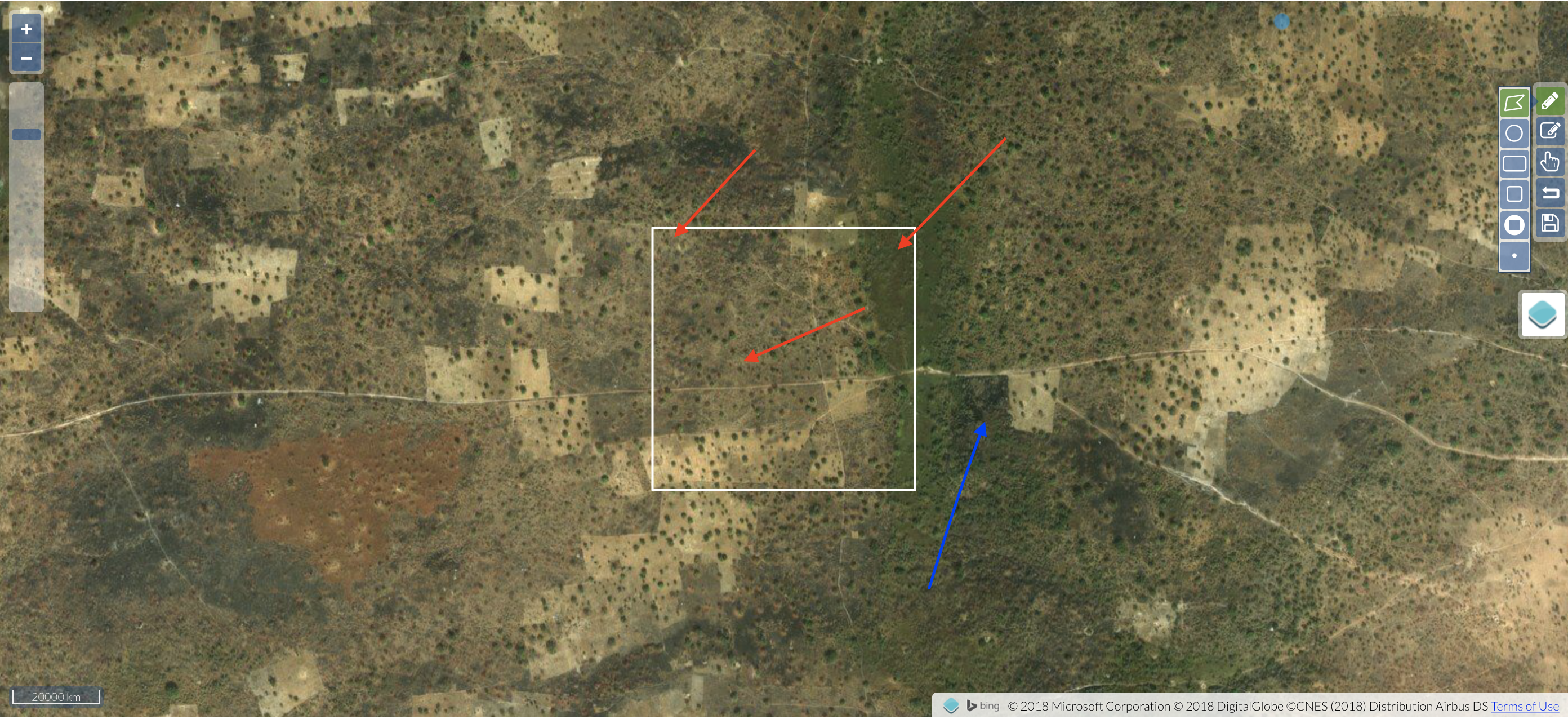
Here’s how we would label this scene:
, we used all the available images to help identify the boundaries](figures/rule1_1c.png?raw=true)