Main Menu Labelling Interface Rules
Rule 2
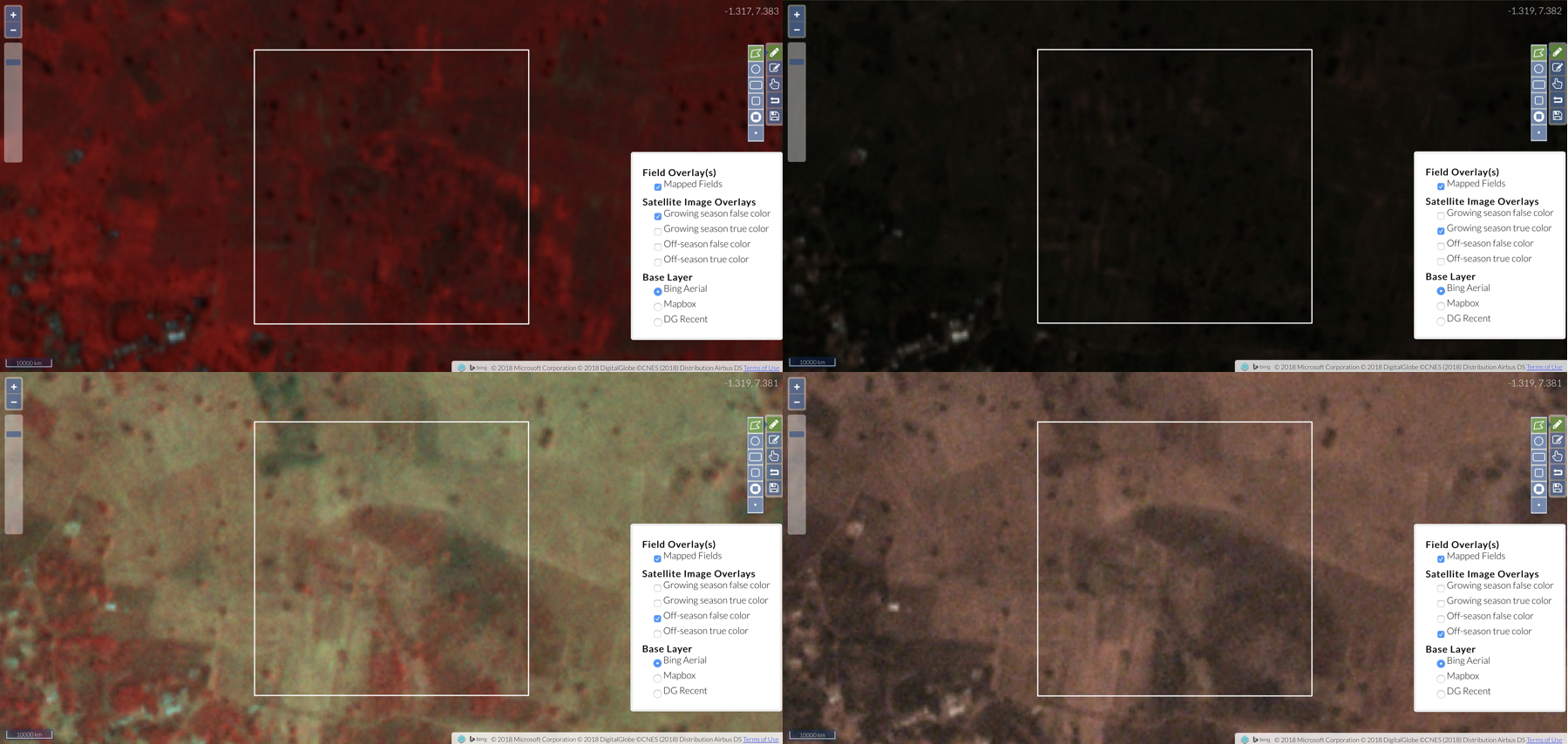
Label the field boundaries as they appear in the off-season PlanetScope images, to the best of your ability. If the field boundaries are hard to interpret in the off-season imagery, then you should label the boundaries (if they are clearer) in growing season PlanetScope images.
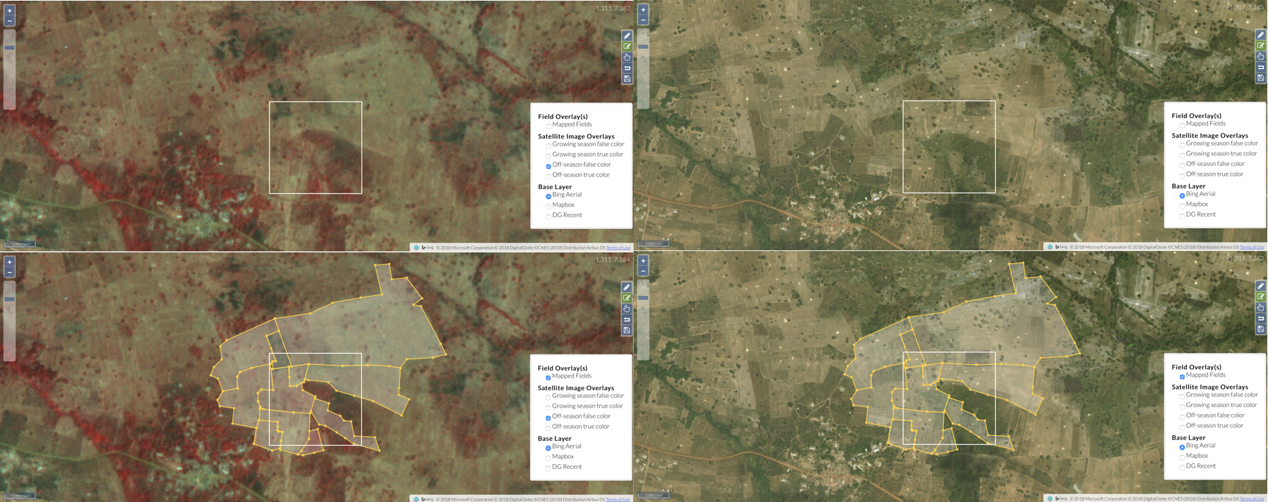
[Update this example] You may have noticed in the four images that we used to illustrate Rule 2 that the field boundaries are smaller in off-growing season pair than they are in the growing season pair. The blue arrows in the image below show these locations in the false color images for the growing and non-growing season. In this case, you should label the image that has the largest extent of fields that you can see with confidence, which here is the growing season image pair.
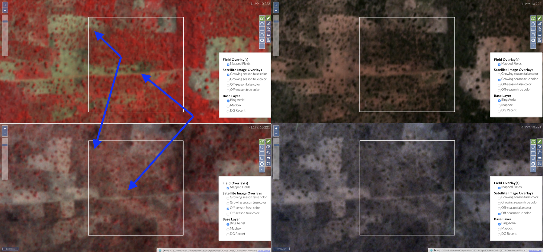
In other cases, the Planet imagery may be to dark, have clouds, or be too unclear to intepret. The example below is from another area where the growing season images are too dark to work with. In this case, you should label on the pair that has the clearest boundaries, which is the off-season pair.
Here’s how we labelled this one, by the way:
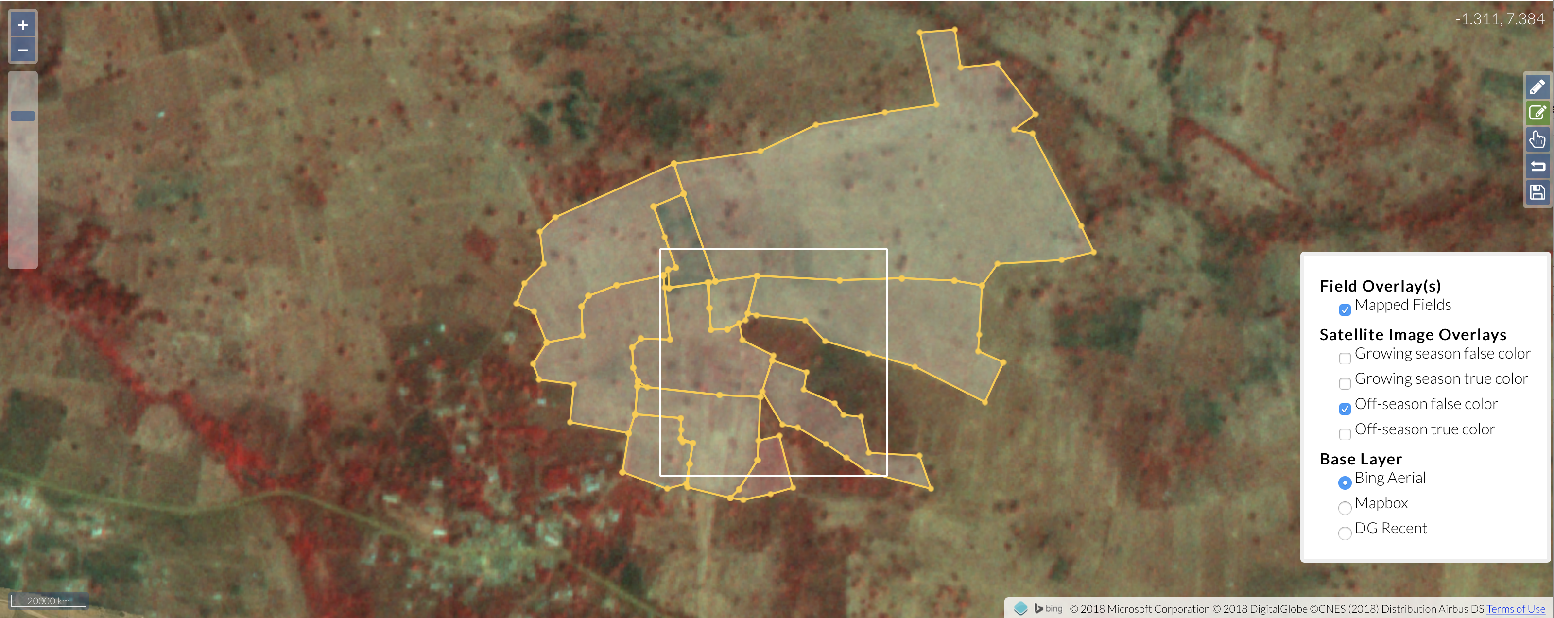
Let’s look at those boundaries in context against the basemap and the image we used to do most of the labelling, the off-season false color. If you look closely below, you will note that some of the boundaries we drew follow patterns in the basemap, others don’t. In the places where they do, we were able to discern patterns (e.g. paths) that were clear in basemap and also discernable in the Planet image. We’ll return to this example in more detail to explain other rules.