Main Menu Labelling Interface Rules
Rule #3
Use all available images (Planet scenes and basemap) to help you interpret what is and is not a field in the PlanetScope imagery. Looking back and forth between multiple image sources can aid your interpretation of what is and is not a field, and thereby improve your confidence in drawing a field boundary in the PlanetScope scene.
[Update this example] The sequence of images below show all 4 Planet images, the basemap, and then a zoom out of the growing season false color Planet image over the basemap. Examining these different images can help give more context about the fields, and therefore help in identifying them.
![**[Update this example]***The four Planet image views. Growing season false color (top left); Growing season true color (top right); Off-growing season false color (bottom left); off-growing season true color (bottom right)*](figures/rule2.001.png?raw=true)
To draw the boundaries for these images (which we show in Rule 1 , and again below), we mainly drew these on the growing season true color image, but the boundaries between fields were a bit hard to see in true color (primarily where the blue arrow is pointing), so we looked at the false color image to help identify the boundaries. This helped, because the boundaries are clearer in false color
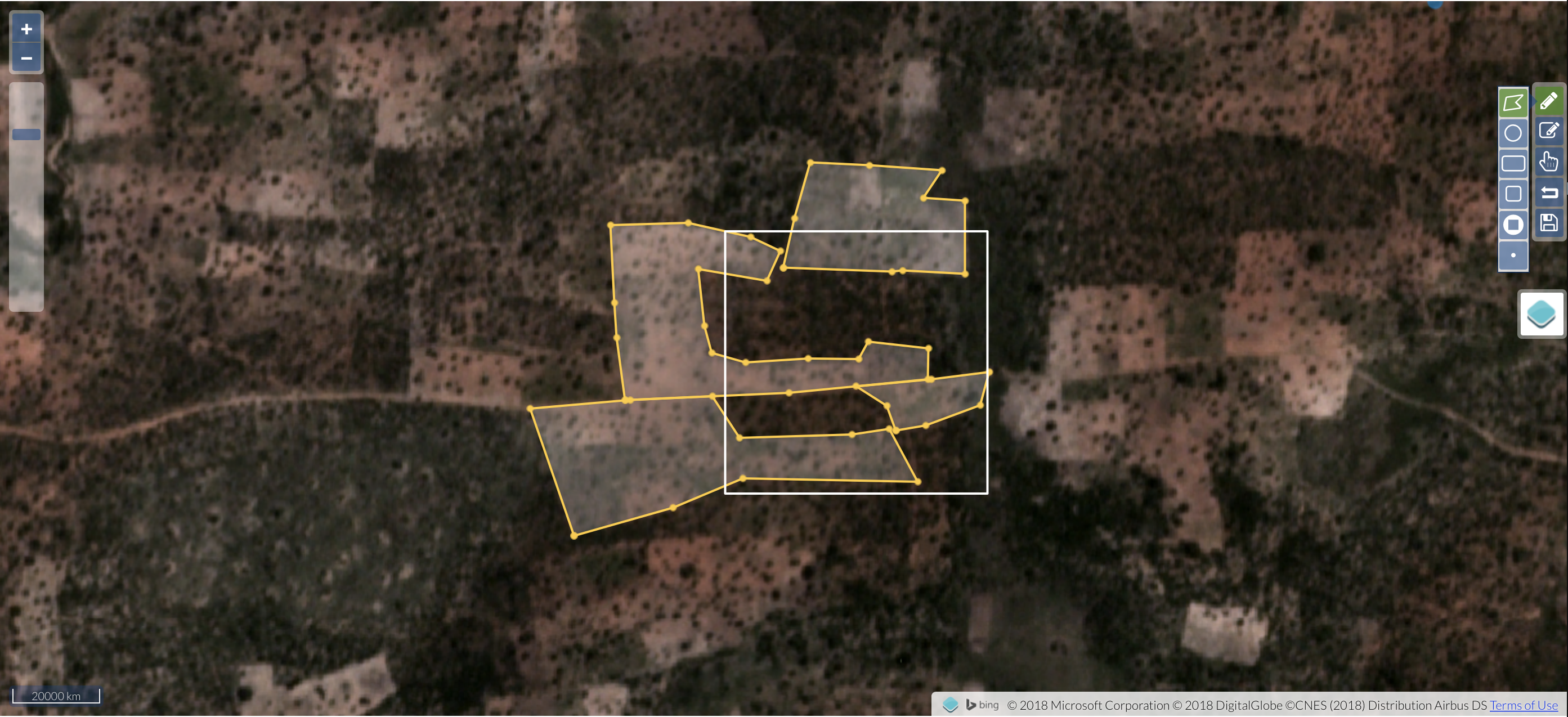
Looking at the basemap can also help give more detail on what kind of agriculture is there, even if the boundaries are different then what you see in Planet. For example, in the left image below you can see that crop fields tend to have a more tan color (in true color) than the surrounding natural vegetation, and have trees left within the field.
Zooming out can also give context, such as how much agriculture is in the general areas.
![**[Update this example]**. *The basemap (left) and zoomed out look at the growing season false Planet image.*](figures/rule2.002.png?raw=true)